
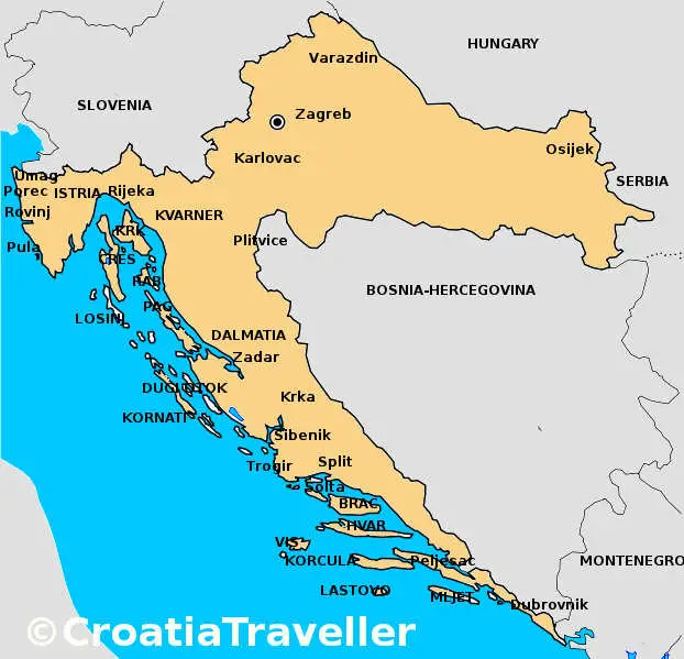
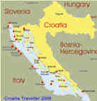
Croatia Maps
This clickable map of Croatia gives an overall view of the major destinations. For more detail, see the maps on these pages: Istria, Kvarner, Dalmatia and Islands.
Click here for zoomable Croatia road map.
More Maps
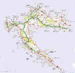 Road Map |
 Train Map |
 Ferry Map |
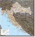 Topographical Map |
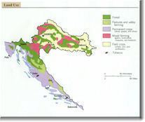 Land Use Map |
 Islands Map |
 Istria Map |
 Dalmatia Map |
 Kvarner Map |
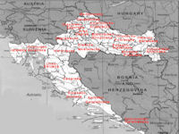 County Map |
Zoomable Maps of Croatia
Istria Map
|
Road Map
|
Dalmatia Map
|
Buy Croatia Maps
It's important to buy the most recent Croatia map you can find if you'll be doing a lot of driving in Croatia. I would advise you to buy maps of Croatia before you leave if possible. I usually use the Freytag & Berndt maps when I visit Croatia as I find them to be detailed yet easy to follow with good regional information as well.
You can get high quality up-to-date maps from amazon.
Links to Croatia Maps on the Internet
To see it all, rent a car

Geo-Gauss
In Croatian but it has a wealth of town & city maps.
University
of Texas Perry Castaneda Collection
A good collection of free spy maps (from the CIA) including some from
former Yugoslavia.
Euroave
Zoomable maps of most Croatian towns and cities
Cro Maps
An excellent selection of interactive city maps plus a road map of
Croatia.
Croatia Traveller Guidebook! Or get it now on
Related Pages |


Join the Croatia Traveller Group
Recommended Experiences
©CroatiaTraveller 2005-2024 All rights reserved